What can I do with image recognition?
Image recognition makes it possible to detect, count, track, or identify things in photos, videos, or camera images. We sometimes do this using Artificial Intelligence, and sometimes we use more traditional methods. In the infrastructure sector, we apply this to, for example, aerial photos, satellite images, ground radar images, and 360-degree car photos, as well as to collected images of objects or to real-time camera feeds.
The technology
At Pegamento, we specialise in solving issues in the infrastructure sector using image recognition. We develop lightning-fast detection AI networks that can immediately respond to live camera images, as well as server systems that analyse satellite images or apps that can measure or count objects in the field. Image recognition is never the goal in itself, but is part of the solution.
Applications
Automatic scanning
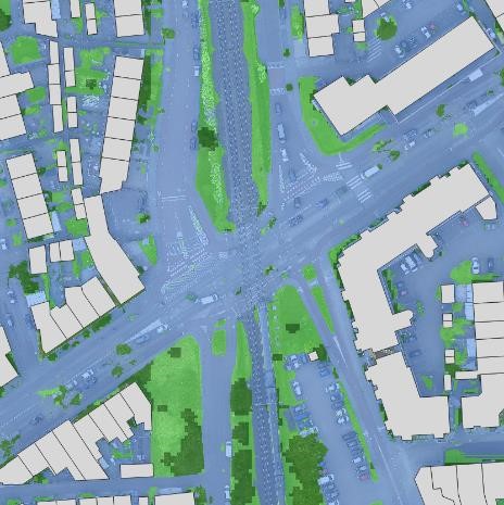
On satellite images, aerial photos, and 360-degree car imaging, we detect all kinds of objects, surfaces, and their status. As a result, we easily compare the former situation with the current one.
Traffic safety
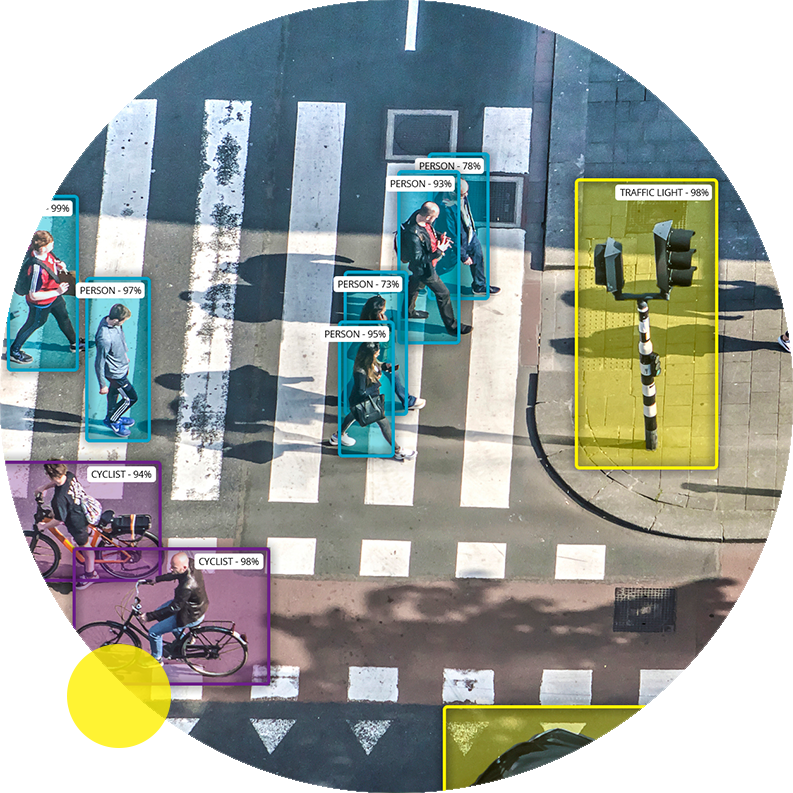
Using a deep learning network, we detect road users and determine their location in the real world. This allows us to immediately raise an alarm or to collect statistics.
Other fields of application
- Enforcement
- Registration and statistics
- Predictive maintenance
- Automation
Example: Cables and pipes
Challenge
Preparing offers for the laying of cables and pipes is a time-consuming process. Often, inspections have to be done on site, and data from the government is neither accurate nor sufficiently up to date.
Solution
Pegamento has developed a server application trained on satellite images and aerial photos to determine the subsurface. If a cable or pipe needs to be laid, the application can thus automatically calculate the most efficient route from A to B.
Example: Bridge safety
Challenge
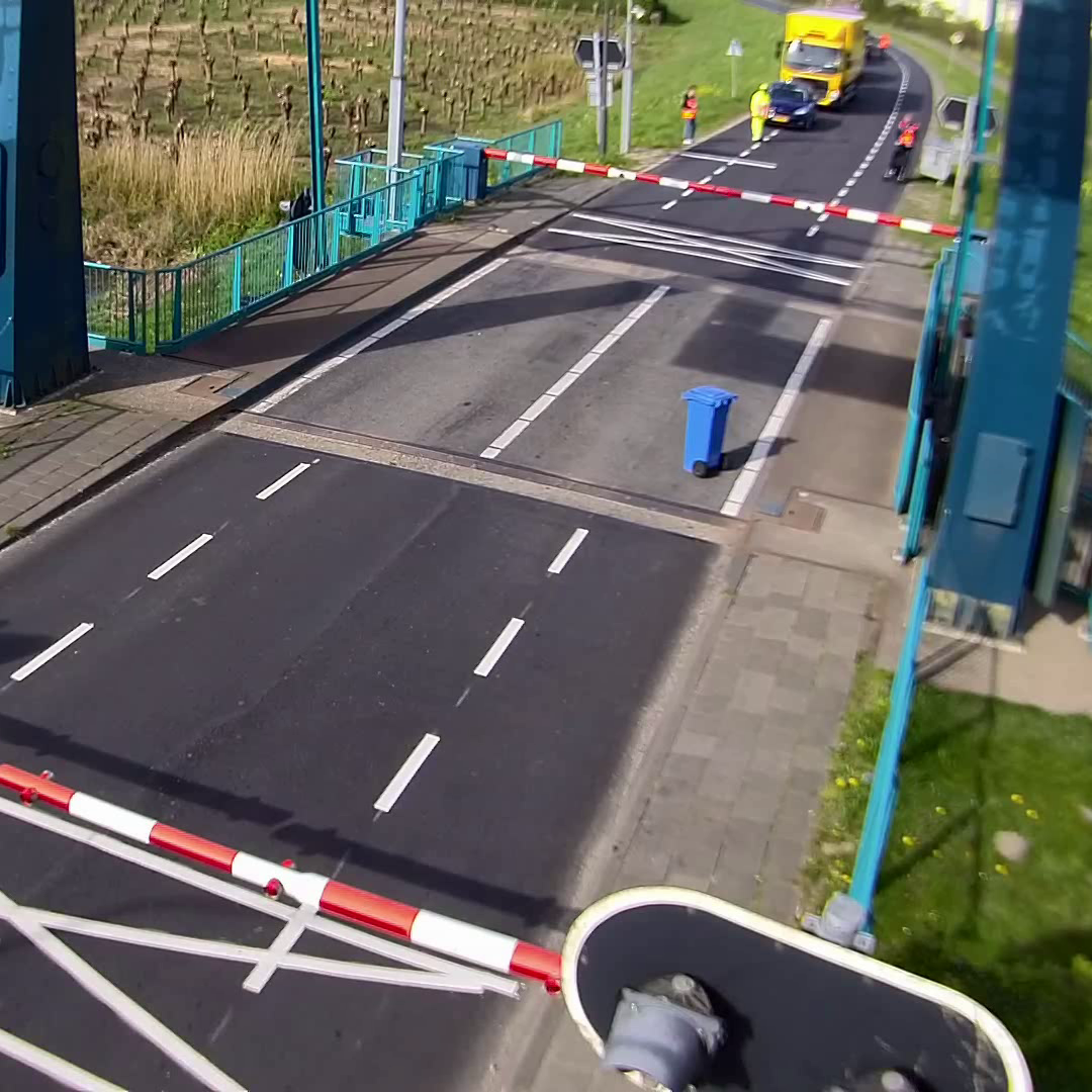
Bridge operators need to be able to determine within seconds whether it is safe to open a bridge deck. It is difficult to search for people or objects on different camera images in a short period of time.
Solution
Pegamento has developed software that uses object detection to warn of the presence of people or vehicles. Via an anomaly detection network, abnormal situations or objects on the bridge deck are also signalled. Read more about this solution here.
Example: 3D point clouds
Challenge
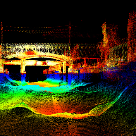
A lot of 3D data is collected underwater and above water for assessing the condition of artworks and waterways with, for example, multibeam, sonar and LiDAR. This data is often assessed manually for reporting purposes.
Solution
Pegamento is experienced in reading this 3D data and can use GPS locations to detect how the situation changes over time for each location. We can read these 3D sensors in real time and perform 3D detections, but more frequently we process large amounts of data retrospectively.
